Publisher InformationAdventure Maps
For additional information please visit the publishers website:
adventuremaps.net
Beartooth Publishing
For additional information please visit the publishers website:
beartoothpublishing.com
Backroads Mapbooks
Backroad Mapbooks offers a wide range of outdoor navigation products including our classic printed Backroad Mapbook series, lightweight & foldable printed waterproof maps, large-scale printed TOPO maps and more.
Our maps are prized among the outdoor community for their detail and accuracy, clearly showing changes in elevation, natural features such as mountain peaks and glaciers, and recreational Points of Interest like hiking trails, fishing holes and campsites.
Most notably, we provide the most comprehensive coverage available in Canada for backcountry roads including logging and resource roads, deactivated roads and unclassified roads.
For this reason, our maps are used not just by outdoor recreationists but by government agencies and Search and Rescue teams as well. For additional information please visit the publishers website:
backroadmapbooks.com
Bella Terra Publishing LLC
Bella Terra is a family-owned business dedicated to producing informative special interest maps with as much information as guidebooks. Our maps are illustrated with original watercolor paintings. For additional information please visit the publishers website:
bellaterramaps.com
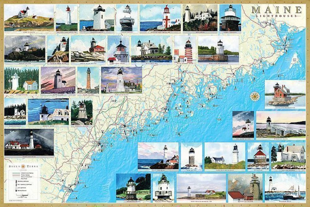
Product sample [* Enlarge]
Benchmark Maps
Benchmark Maps publish a line of state road atlases that include landscape and physical features of the topography, along with road and recreation information. Benchmark state atlases are created for people who need an authoritative reference to the natural beauty, culture, and history of the American West. Nowhere else will the camper, boater, traveler, hunter or armchair explorer find a more comprehensive guide and travel companion. There is a special emphasis on recreational activities and opportunities. Public land ownership information is also provided, and the atlases are thoroughly indexed. At the heart of the atlases are the richly detailed Landscape Maps compiled by skilled cartographers using the latest digital technologies. These maps combine shaded relief and hypsometric tints or land use imagery. Most atlases have a section of "Metro Maps", enlarged detail for getting around the urban areas. All atlases are field-checked by Benchmark staff. To get the best data, teams of field checkers drive throughout each state and conduct hundreds of information-gathering interviews. Benchmark atlases and maps are simply the clearest, the most beautiful, and the most up to date of any now published. For additional information please visit the publishers website:
benchmarkmaps.com
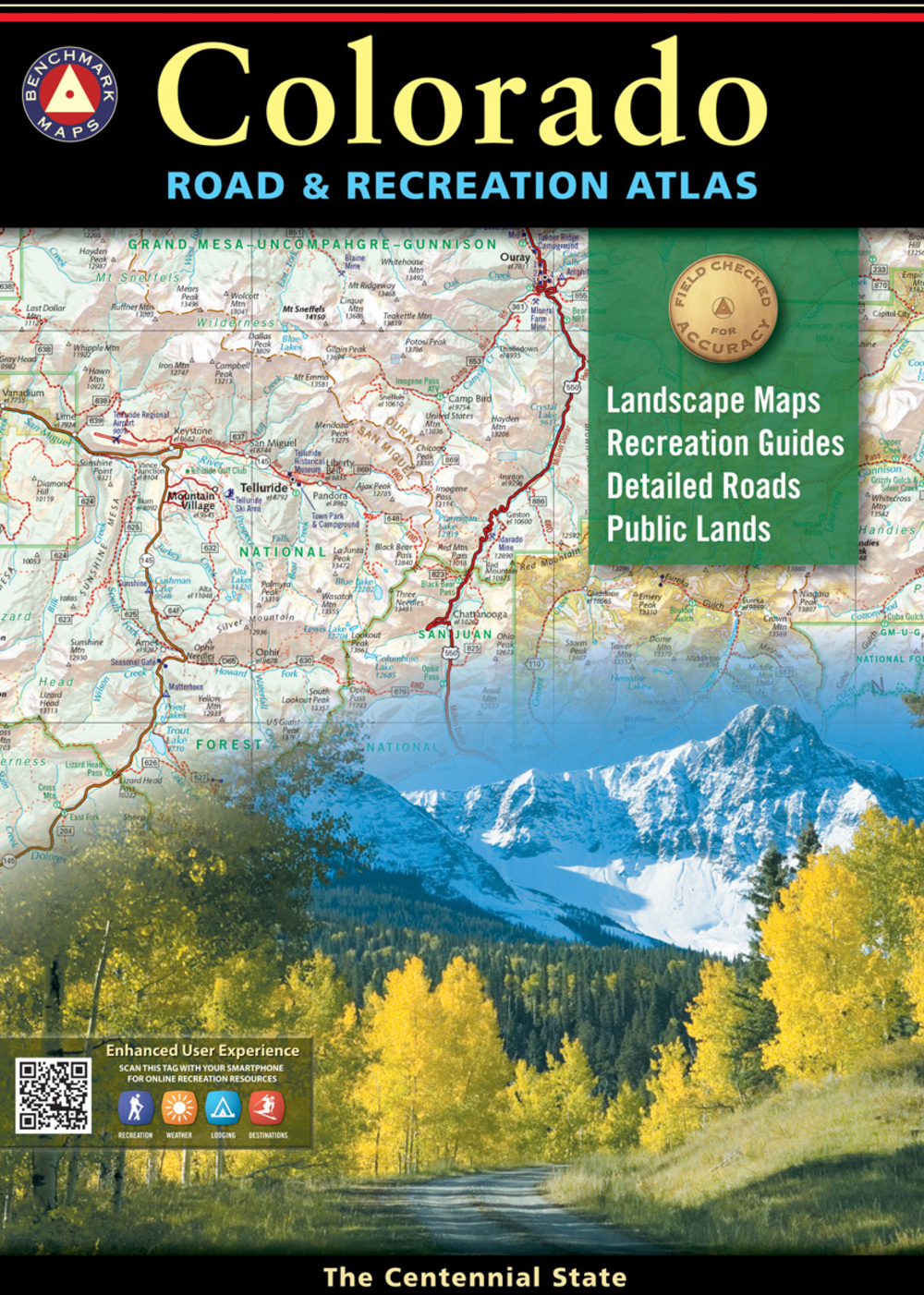
Product sample [* Enlarge]
Borch GmbH.
Recognized by their unique sand colored covers, Borch maps are produced by a small independent firm located in a small town in Bavaria, Germany.
Borch is very proud of their high quality, European style cartography as well as their soft laminated, folded products made 100% in Germany. The maps include a high level of detail which includes climatic, demographic and geographic information. Borch maps stand out in stores because of their unique color and purposefully un-cluttered covers. For additional information please visit the publishers website: borch.com
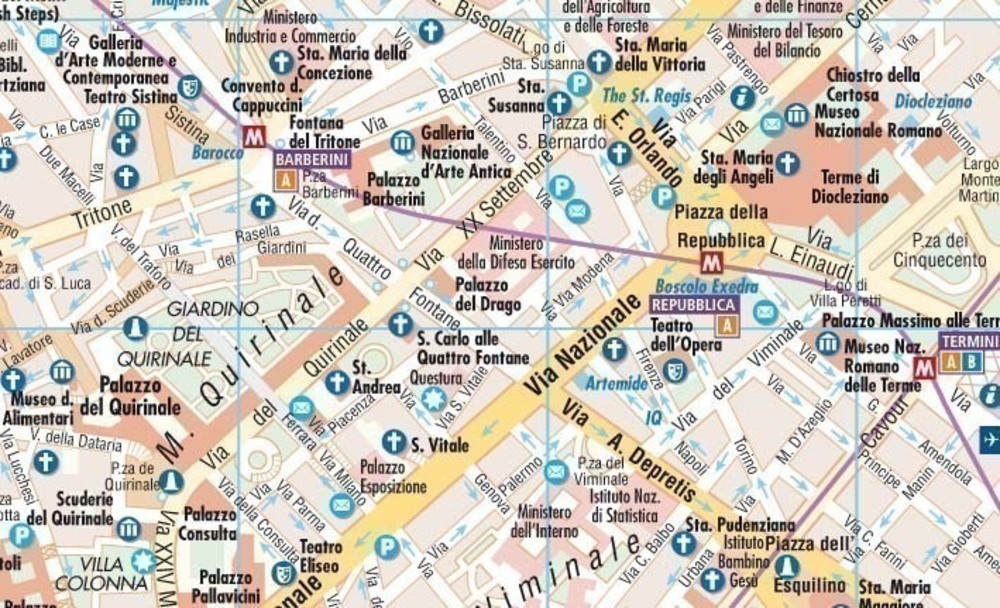
Product sample [* Enlarge]
British Antarctic Survey
For additional information please visit the publishers website:
ukaht.org
Cartographia
As the leading map maker in Hungary for more than 60 years, Cartographia's maps and atlases are respected all around the world.
Cartographia produces European Road Maps, International City Maps and a World Travel Map series intended primarily for use by people outside Hungary. Each map contains a wealth of information, precise quality mapping, index and legend in at least English, German and French. As a result you will find Cartographia products available in most European countries as well as in the United States, Asia, Australia and Africa. In addition to their exported line of products, Cartographia produces a big variety of maps and guides for the their domestic market as well. Maps and atlases of Budapest and Hungary, a wide range of tourist maps and atlases, maps of Hungarian cities and also a wide range of travel guides. For additional information please visit the publishers website: cartographia.hu
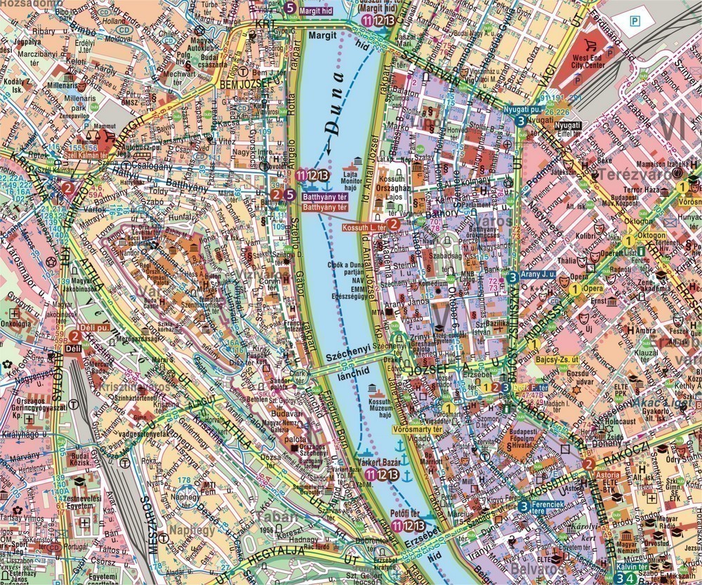
Product sample [* Enlarge]
DeLorme
Readily identifiable by their red atlas cover DeLorme has been directly responsible for many of the major technological advances made in the mapping industry over the past 30 years. In addition, DeLorme is the only major atlas series covering all 50 US states.
Each Delorme paperback atlas contains topographic maps with unbeatable detail, plus gazetteer information on great places to go and things to do and is roughly 11" x 15.5" in size. You can trust that the Delome atlas is reliably the utmost authority for trip planning and backcountry access.
Earthwalk Press
Earthwalk Press publishes topographic maps of national parks and wilderness areas. As former seasonal national park rangers and avid backpackers, we design our maps to cover everything we want to know when planning a trip. Our maps are updated from USGS maps, working closely with the managing land agency to ensure accuracy. Scale is generally 1:48,000 or 1:62,500. They are printed in 5 or more colors for easy readability and often include the detailed hydrology and place names of 7.5-minute USGS quads. Extensive text covers regulations, minimum impact techniques, safety considerations, and natural history appropriate to the area, so our maps serve as guidebooks as well as maps. Most are printed on 27-inch X 39-inch waterproof stock and folded to approximately 6 inches X 9.75 inches. Our Grand Teton National Park Photographer’s Map and Guide is a specialty map that offers 82 photographs keyed to 50 photographic points on a shaded relief map.
Ediciones Independencia
Ediciones Independencia has over 30 years of experience and a vast catalog of maps of Mexico, its states and major cities. Our mission is that our maps become a useful and convenient information resource for national and international tourism, as well as for any consumer that requieres information about cities, touristic attractions, highways and roads of Mexico, with the highest quality and accuracy. For additional information please visit the publishers website:
mapasindependencia.com.mx
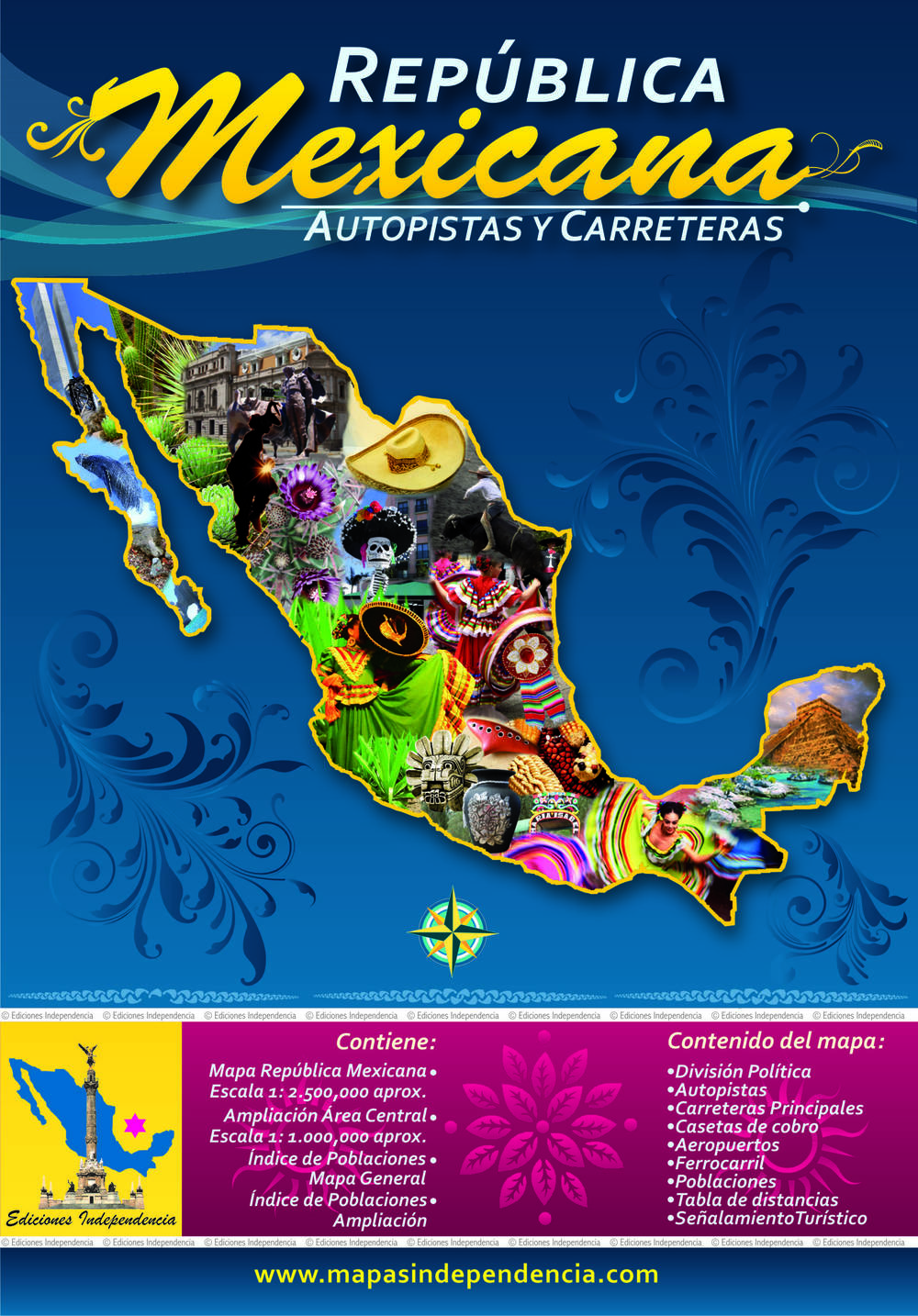
Product sample [* Enlarge]
Edition MPA by Orell Fussli
For additional information please visit the publishers website:
orellkarto.ch
Fine Edge
For additional information please visit the publishers website:
Fineedge.com
Fishing Hot Spots
For additional information please visit the publishers website:
Fishinghotspots.com
Five Star Maps, Inc.
Five Star Maps, Inc. has been publishing state and city maps in the USA since 1996. We stock maps of most all of the states and most all of the major city titles in the US. We strive to offer up-to-date cartography on our products as well as offer personal and custom services to our customers. For additional information please visit the publishers website:
fivestarmaps.com
Frankos Maps Ltd.
Franko Maps began in Southern California's mountains and then expanded to the coast and islands off of California. After that, they expanded to Hawaii, the Caribbean, Micronesia, and Florida. The mission of Franko Maps Ltd. is to provide, continually improve and broadly distribute visually appealing and informative guide maps of extraordinary and interesting destinations.
Colorful and bright, Franko Maps are printed on durable waterproof synthetic paper using fade-resistant inks. While incorporating a wealth of information, the detail of the maps incorporates a love and respect for each location, its natural environment and its history. Each map provides a wealth of information including what to see and do, dive sites, surfing spots, trails, historical sites, scenery, cultural facts, activities and attractions. Franko Map backgrounds (island outlines, hill and mountain shaded relief, ocean bathymetry, etc.) are visually beautiful. Franko Map foregrounds (roads, trails, place names, descriptions, etc.) are clear, beautiful and continuously updated. An effort is made to improve and update the maps with each subsequent edition. For additional information please visit the publishers website: frankomaps.com
Freytag-Berndt und Artaria
Headquartered in Austria, Freytag & Berndt offers a wide variety of maps covering all areas of the globe. Apart from the the well-known road and leisure-time maps, Freytag & Berndt also offers all kinds of atlases, city maps, hiking maps, posters and multi-media products.
Freytag & Berndt's series of road, leisure time and city maps are folded protected with a soft cover. Many of the maps provide the normal details plus postal codes, tourist information, road distances, culture guides, car ferries, and other helpful information. Most products of Freytag & Berndt - especially atlases - are characterized with through road maps which give users an overview of highways through the city to simplify quick and easy crossing. Moreover all important products are equipped with GPS information. The newest Freytag & Berndt products are designed with three colored terrain which allows for easier reading and clearly arranged cartography. For additional information please visit the publishers website: freytagberndt.com
Gem Trek Maps
Gem Trek Maps specializes in producing detailed maps of the Canadian Rockies. Based in Banff, Alberta, they publish 22 maps, most of which focus on hiking trails. Renowned for their accuracy and detail, Gem Trek Maps are printed on waterproof and tear-resistant paper. Each regularly updated map features distinctive relief shading and clearly marked hiking trails, points of interest, and mountain ranges. These driving maps are printed on paper and cover the Canadian Rockies and regions as far away as southwest British Columbia and Northern Washington.
For additional information please visit the publisher's website:
gemtrek.com
GM Johnson
GM Johnson & Associates Ltd. is a computer cartography company, specializing in street maps and atlas publishing for the North American retail market. Using advanced technology to design and publish maps, GM Johnson has built a solid publishing business over a 26-year period, and aggressively building its street maps and atlases over the past 10 years. For additional information please visit the publishers website:
gmjohnsonmaps.com

Product sample [* Enlarge]
GTR Mapping
Colorado based GTR Mapping was started in late 1984, by an exploration geologist with an extensive Rocky Mountain travel background. GTR's first published map was in 1985, the Colorado Geologic Highway Map. Since their start GTR has evolved along with the mapping industry, moving from manual cartography to the use of computers and digital files for map compilation and printing.
GTR constantly collects, reviews, and organizes information for map updating and compilation. In addition to field checking, sources used for information include the departments of transportation, State Parks, Fish & Game, U. S. Forest Service, National Parks, U. S. Fish & Wildlife, Bureau of Reclamation, Corps of Engineers, Census Bureau, local chambers of commerce, and visitors bureaus. GTR currently offers Topographic Recreational Maps of several western states. These maps are detailed state travel maps that portray the general geography and much more recreational and points of interest information than typical highway maps. They are designed for both casual tourists and outdoor enthusiasts that like to get off the beaten path. For additional information please visit the publishers website: gtrmapping.com
Great Pacific Recreation & Travel Maps
For additional information please visit the publishers website:
greatpacificmaps.com
Groovy Map Co.
For additional information please visit the publishers website:
groovymap.com
Guia Roji
For additional information please visit the publishers website:
guiaroji.com.mx
Hallwag
Hallwag Kümmerly+Frey is the leading publishing house in Switzerland for tourism. Our international distribution network has ensured a worldwide presence and made our familiar red/yellow and blue maps famous everywhere. Swiss cartographic standards guarantee you a high level of accurate information. For additional information please visit the publishers website:
swisstravelcenter.ch
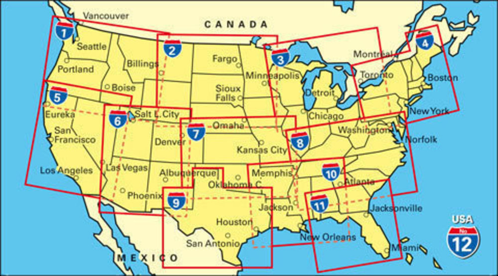
Product sample [* Enlarge]
Hedberg Maps
For additional information please visit the publishers website:
hedbergmaps.com
Hema Maps
As a leading map maker in Australia for more than 25 years, Hema's maps and atlases are respected all around the world.
Hema produces road Maps and atlases for Australia, New Zealand, many Pacific Islands and the USA. For the United States they produce a series of six regional maps, USA maps, and the Ultimate Road Atlas and GPS Companion. Each map product contains a wealth of information, precise quality mapping, index and legend. Hema products are very well respected for their accuracy, detail and ease of reading. For additional information please visit the publishers website: hemamaps.com
Jana Seta
For additional information please visit the publishers website:
kartes.lv
Jimapco
For additional information please visit the publishers website:
jimapco.com
Kalimedia
For additional information please visit the publishers website:
kalimedia.de
Kappa Map Group
Kappa Map Group (KMG) was formed in early 2011 to provide a single umbrella over our growing family of map brands. These brands include a complete selection of easier-to-read and full size, mid-size, and pocket US Road Atlases, paper and laminated street, state, national and world maps, educational wall and desk maps, and custom and pre-formatted wall maps. With brands extending as far back as 1816, Kappa Map Group, is a recognized leader in the publishing of printed map products in North America. KMG provides the largest selection of map titles of any US map publisher. For additional information please visit the publishers website:
kappamapgroup.com
Product sample [* Enlarge]
Kasprowski Publisher
Based on Saint Martin in the Caribbean, Kasprowski Publisher specializes since 2002 in designing and publishing original high-quality road and adventure maps of popular Caribbean travel destinations that are under-represented on the cartographic market. Every new edition is revised for accuracy and completeness based on the company's own surveying and official documents from local governments. One of the unique features of our maps of this part of the world is the completeness of the road infrastructure shown, which includes street names, main and secondary roads, detailed insets of major urban areas, and full street indexes. Our maps also include a growing set of information for sight-seeing and other activities, such as historic sites, hiking trails, biking routes, diving and shipwreck sites, water sports areas, beaches, marinas, mooring locations, scenic views, nature reserves, bird-watching sites, hill peaks, and many other attractions and key points of interest for travelers. All our road and adventure maps also feature rich topographic detail, symbol keys, scales, longitude and latitude lines, depth curves, and soundings in meters.
Product sample [* Enlarge]
Kiwi Maps
The leading New Zealand map company and well respected, locally owned -operated company which has been trading for 40 years. Our small dedicated team of cartographers take pride in presenting these comprehensive, informative, and up to date publications. For additional information please visit the publishers website:
kiwimaps.com/
Product sample [* Enlarge]
Kunth Verlag
Family run KUNTH VERLAG GmbH is the original publisher of the famous laminated FlexiMaps / EasyMaps on cities, countries and regions. Furthermore, Kunth is publishing a wide range of up-to-date road cartography (maps + road atlases), beautiful illustrated albums, world atlases, travel hand books, travel guides and a big selection of outstanding award winning wall calendars. For additional information please visit the publishers website:
kunth-verlag.de
Product sample [* Enlarge]
Lakemaps
East View Map Link is pleased to present our latest acquisition, Lakemaps, a midwestern map publisher and established distributor focused on fishing maps and guides for hundreds of lakes in the United States.
Lakemaps consists of hundreds of maps covering bodies of water in Minnesota, Wisconsin, Iowa and Illinois and became a prominent distributor for other recreational maps and atlases including Fishing Hot Spots, Sportsman’s Connection, All Outdoor, DeLorme, and more. A product line which began as hand-drawn maps on index cards has grown into a flourishing line of product offerings including durable plastic maps, multi-map sets, large Paper Area Lakemaps (PAL) and EZ Weigh Rulers for measuring and estimating the weight of a fish after a successful catch. Map Link will continue to make Lakemaps branded and distributed products available to existing physical retailers. Additionally, Map Link is committed to expanding the reach of Lakemaps products regionally and nationally by welcoming new customers in both the consumer and retail space, as well as updating and transforming the Lakemaps collection.
Libreria Geografica
Geo4Map, founded in 2009 as a spin-off of Istituto Geografico De Agostini, has demonstrated considerable capacity for growth over time boosted by two important objectives: in 2014, the acquisition of De Agostini's entire geo-mapping publishing division and, in 2015, the launch of the Libreria Geografica brand, specialized in publishing, educational and scholastic products.
Libreria Geografica encompasses the tradition and evolution of De Agostini's centuries-old history, adding value to such elements in order to guarantee products that unite experience and quality as well as innovation in up-to-the-minute technologies used in geographic and cartographic publishing. Today, Libreria Geografica is the Italian leader in geography and cartography sector and continues to maintain and update the legacy acquired from De Agostini, offering high-quality content that is esteemed all over the world. For additional information please visit the publishers website: geo4map.it
Lima 2000
Litografia Artistica Cartografica
Litografia Artistica Cartografica (LAC) was founded in Florence in 1949 is the only Italian private company - there are only a few in the world that makes relief cartography.
LAC products can be found in bookstores, newspapers kiosks, as well as motorway stations across Italy. More than a million people every year choose an LAC map. Now, through East View Map Link these maps are available to the general public in North America. LAC has a comprehensive selection of Italian regional maps, provincial maps, city maps and tourist maps. The regional maps are mostly at a scale of 1:250,000, while the provincial maps are at varying scales from 1:100,000 to 1:150,000. The provincial maps are perfect for visitors needing maps to navigate their way around the Italian countryside. There is also a selection of nearly 100 city maps (not just Rome, Florence and Venice). These street level maps are in depth maps showing street names and most have an index. Finally, there is a line of Italian tourist maps which are based around Italy's most famous tourist areas and are normally at a very high scale (less than 1:100,000). For additional information please visit the publishers website: cartemurali.it
Lonely Planet Publications
Lonely Planet is the world’s most successful travel publisher, printing over 120 million books in eleven different languages. Along with guidebooks and eBooks to almost every destination on the planet, Lonely Planet also produces a range of gift and reference titles, children's books, city street maps, an award-winning website and magazine and a range of digital travel products and apps. Trusted advice from a trusted source.
In 2016, Lonely Planet started its City Street Map publishing program, and will continue building upon it in the years to come. In 2017 we will release a line of "Country Planning Maps", that like our city street maps, will be waterproof and easy-to-fold. Each planning map will help the traveler navigate the country with advice on must-see sights and other practical travel tips.Look for Great Britain, Italy, France, Australia, New Zealand, and the USA in June 2017. For additional information please visit the publishers website: lonelyplanet.com
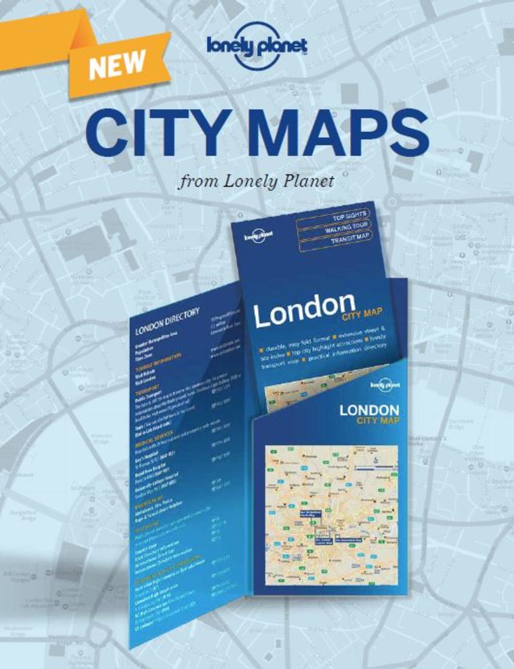
Product sample [* Enlarge]
MAD Maps
If you are looking for the fastest way from point A to point B, MAD Maps are not for you. This publisher is all about finding the most scenic route (which have been scouted by locals) with the most unusual and unique attractions along the way. From rock 'n' roll roadhouses to rubber band museums, they have scouted the places that make getting there so much fun. With almost 1,000 trips designed by MAD Maps showcasing nearly 6,000 interesting places around this great country, you will never run out of places to explore. MAD Maps' traditional print products combine the best features of bulky travel guides with the essentials of traditional road maps. For additional information please visit the publishers website:
madmaps.com
Marco Polo Travel Publishing Ltd
Marco Polo Travel Publishing is the publisher of the following travel products. Marco Polo Road Maps, City Maps, Holiday Maps, Pocket Guides, Spiral Guides, and Handbooks. Based in the UK we distribute Marco Polo product in the following markets: USA, Canada, Europe, South America and the Caribbean, South Africa, Australia and New Zealand, Middle East, and Far East. For additional information please visit the publishers website:
marcopolouk.com
Map The Xperience
For additional information please visit the publishers website:
mapthexperience.com
Michelin Maps and Guides
From a single guide created over 100 years ago to promote road travel at the start of the automobile age, Michelin has grown and expanded its range of road and street maps and road atlases, as well as travel and dining guides, for Europe, North America, the Caribbean, and select world locations, including maps for Africa. Maps are grouped in collections to meet different navigational needs: country and regional maps for a higher-level perspective, Zoom maps for close-ups of popular tourist areas, local maps for French and Italian back roads, and city street maps in both paper and laminated format. Michelin also offers informative, colorful wall maps of the US and the world, in paper and laminated format, which serve as a decorative visual reference.
Travel guides are grouped in different series to accommodate various travel styles: Green Guides for in-depth knowledge of a destination, Must Sees for short stays, and the Map & Guide series for spontaneous, spur-of-the-moment travel. The ultimate worldwide reference for dining is the iconic, red-covered MICHELIN Guide collection with its emphasis on the quality of what’s on the plate. Spiral-bound, grid-style road atlases with their wealth of road information and points of interest pulled from the Green Guides are an additional and welcome resource for drivers for in-advance trip planning or en-route decision making. No matter which travel publication is selected, travelers will find the same Michelin promise of quality and consistency consumers expect from one of the world's most trusted brands. For additional information please visit the publishers website: nbnbooks.com
National Geographic Maps
Founded in 1915 as the Cartographic Group, the first division of the National Geographic Society, National Geographic Maps has been responsible for illustrating the world around us through the art and science of mapmaking. Today, National Geographic Maps continues this mission by creating the world s best wall maps, recreation maps and atlases which inspire people to care about and explore their world. All proceeds from the sale of National Geographic maps go to support the Society s non-profit mission to increase global understanding and promote conservation of our planet through exploration, research, and education.
National Geographic's extensive folded map offerings include Guide Maps (US States), Destination Maps (US and World cities), Adventure Maps and the popular Trails Illustrated maps (National Parks and Recreation Areas). National Geographic's Wall maps include the Classic, Decorator, Executive and Antique series of maps. From the classroom to the Boardroom, National Geographic offers wall maps suitable for every setting and location. For additional information please visit the publishers website: nationalgeographic.com
Phears Hawaii Maps
For additional information please visit the publishers website:
phearshawaii.com
PopOut Products
PopOut is the unique, genuinely pocket-sized map which features our patented PopOut fold. It is this innovative design that allows our precise, easy to follow cartography to be right in your hand when you need it most. Moreover, the origami fold means you can do away with that awkward, oversized map, making it a compact and discreet reference tool that doesn’t shout ‘tourist alert’!
PopOut was founded in 1993. Having spotted a need to cure what he calls 'Map Stress Syndrome' after watching numerous tourists around the City of Bath, England, battling with oversized maps, founder Derek Dacey recalled the invaluable miniature charts he used during his days as a commercial pilot. Aiming to bring this level of usability to the city map market, a small team of designers was recruited to realise what would soon become the PopOut. 1993 saw the release of the first ever PopOut Map Bath, which was sold in the gift and souvenir trade across the city. Hot on the heels of this initial success, a research trip to the USA culminated in a redesigned layout, combining strong photo images, high quality printing and laminated covers – standards which are still adhered to today. That research trip also saw the birth of the first US destinations covered in the PopOut range – Boston, NYC, Philadelphia and Washington DC. Launched in the new style in the US they enjoyed instant success in the gift and souvenir trade. Today, PopOut produces over 100 titles for major destinations and is loved by travellers the world over. For additional information please visit the publishers website: popoutproducts.com
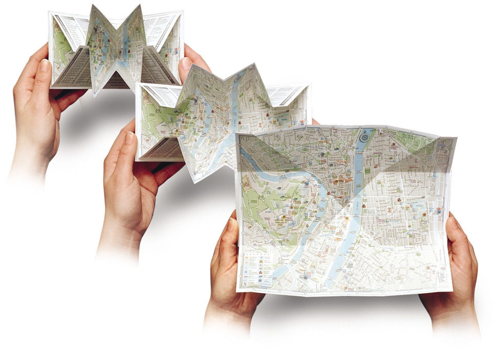
Product sample [* Enlarge]
Publicpress
For over 25 years, Publicpress maps have proven their quality by their good balance between clarity and high information density. They are user friendly, of high quality, weather-resistant and wipe able. The idea behind our maps is to summarize the most important information for you in one map, so that you can spend your free time according to your wishes, without loss of time.
Each map series is specifically developed for each activity and treats representative holiday area. The maps are convenient and easy to carry on the bike, they take only a small space in your backpack or they fit in your pocket. Due to the durable material, the maps are water resistant, highly durable and tear resistant. With a marker you can make remarks on the maps and erase them again later. The combination of quality, information-richness and an affordable price make these maps so popular. Tourists, sightseers and visitors prefer our maps because they get a comprehensive overview and their stay is made interesting in any weather.
Rand McNally
Rand McNally specializes in maps, navigation, road travel, and trip planning. Founded in 1856, the company provides products and services for consumers, the trucking and commercial transportation market, and educators. Rand McNally's products and services include IntelliRoute® truck routing software and GPS devices, a leading geography-based online subscription service for schools, printed maps and atlases including America's #1 Road Atlas. For additional information please visit the publishers website:
RandMcNally.com
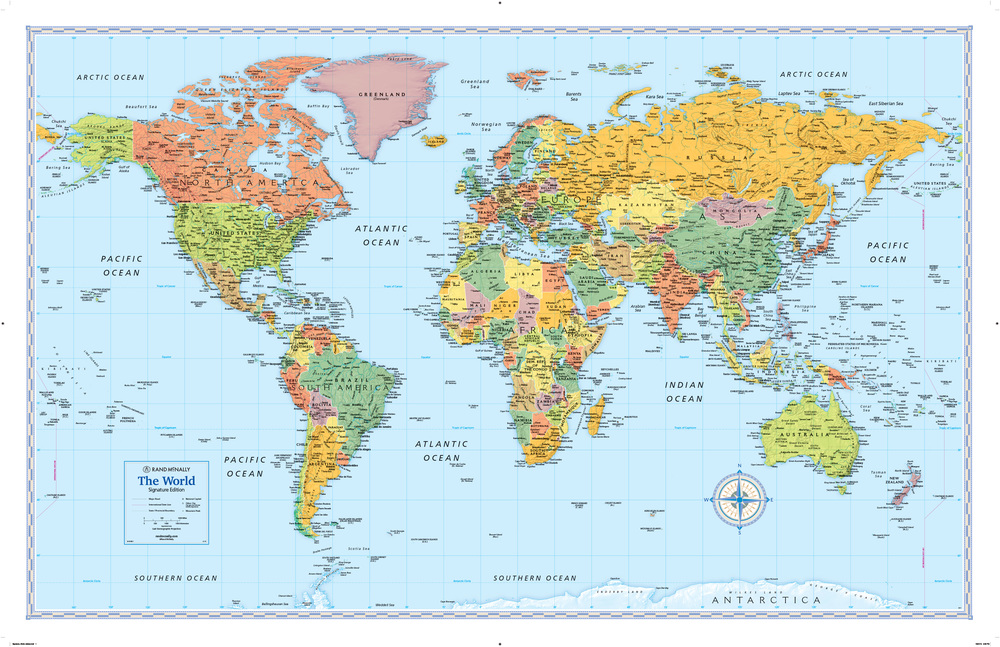
Product sample [* Enlarge]
Red Maps
New York based, Red Maps is a deluxe city guide company that creates concise, easy-to-use, beautiful maps of major cities. Everything you need is in one richly detailed colorful drawing.
Red Maps are luxurious, intelligent, practical and chic. In one gorgeous, easy-to-read map, finding a city's treasures is a breeze! Concise Red Maps provide you with hundreds of the best shops, hotels, restaurants, architecture, cultural and historical highlights including museums and parks, and makes finding your way as easy as 1-2-3. Red Maps are waterproof with a no-glare finish and are simple to fold. Red Maps have been featured in several television series including Glee and Lost and have been recommended in over 50 magazines, newspapers and design sites. Red Maps are the official map maker of the London Fashion Week apparel trade show held twice annually in London, England. For additional information please visit the publishers website: redmaps.com
Reise Know-How Verlag
Reise Know-How (German for Travel Know-How – or just say „rizé“) was founded in the early 1980s when founder Peter Rump came home from months-long travels in south-east asia and found that better travel guides were needed. Later, language books, maps and other non-fiction books related to travelling were added to the range of products. Today, Reise Know-How is one of the leading German travel publishers. Reise Know-How offers easy-to-read, waterproof and highly durable travel maps from A (like Alaska) to Z (like Zambia). Reise Know-How offers country and regional maps for the main touristic destinations as well as some of the most remote places on earth. In addition, Reise Know-How publishes travel guides for over 200 destinations and more than 230 phrase books for all the world’s major and many minor languages (in German). The maps cover countries and regions in scales ranging from 1:4 million to 1:25,000. New titles are added regularly to the series. Independent German and Swiss cartographers provide high-quality cartography and regular, frequent updates. The maps feature a detachable paper sleeve so that the maps can be folded easily and fit in every pocket. Although printed on plastic, a special coating makes sure the maps retain a paper-like feel and can even be written on with a pencil. For additional information please visit the publishers website:
reise-know-how.de
Rother Bergverlag (Walking Guides)
As one of the oldest and most important alpine publishers, Rother Bergverlag is known far beyond the borders of Germany, Austria and Switzerland for its competence in the field of hiking guides and mountain literature.
Books on all mountain sports topics and tour guides on all areas of the Alps, all important holiday regions in Europe and also on non-European destinations are offered to the public who are enthusiastic about the outdoors. The best known is the series of Rother hiking guides, the core of which are reliable and detailed route descriptions with difficulty ratings. Each of the around 50 tours is provided with illustrations, elevation profiles and map sections. GPS data is always available for download.
The handy format and a weatherproof cover ensure that the hiking guides fit in any trouser or backpack pocket and also withstand exhausting tours unscathed. For additional information please visit the publisher's website:
rother.de
Rubel BikeMaps
For additional information please visit the publishers website:
bikemaps.com
SIG Patagon
The Seeger Map Company Inc.
Touring Club Italiano
Founded in 1894 by a group of bicyclists to promote the values of cycling and travel the Touring Club Ciclistico Italiano published its first maps in 1897. It did not take long before the club had 16,000 members and was promoting tourism in all forms including auto tourism. Today, the Touring Club Italiano (TCI) is a major Italian national tourist organization.
Through the years, Touring Club Italiano has produced a wide variety of maps and guidebooks, and is known for its high standard of cartography. TCI is known for its detailed regional road maps of Italy which are published at a scale of 1:200,000. Touring Club Italiano also publishes prestigious guidebooks called the "Guide Rosse" or Red Guides (not to be confused with the Michelin Red Guides). These guides, which cover Italy in 23 highly detailed volumes, are printed on bible paper. TCI also produces a wide variety of other guides to Italy. Touring Club Italiano also publishes translations of foreign guidebooks such as the French Guide Bleu. For additional information please visit the publishers website: giunti.it
VanDam
For additional information please visit the publishers website:
vandam.com
Waterford Press
For additional information please visit the publishers website:
Waterfordpress.com
Wilderness Press
For additional information please visit the publishers website:
adventurewithkeen.com
|